GIS TECHNOLOGY APPLICATION TO SPATIAL AND MULTIMEDIA DATA BASE GENERATION RELATED TO RELIGIOUS HERITAGE WITHIN SARAJEVO CITY AREA
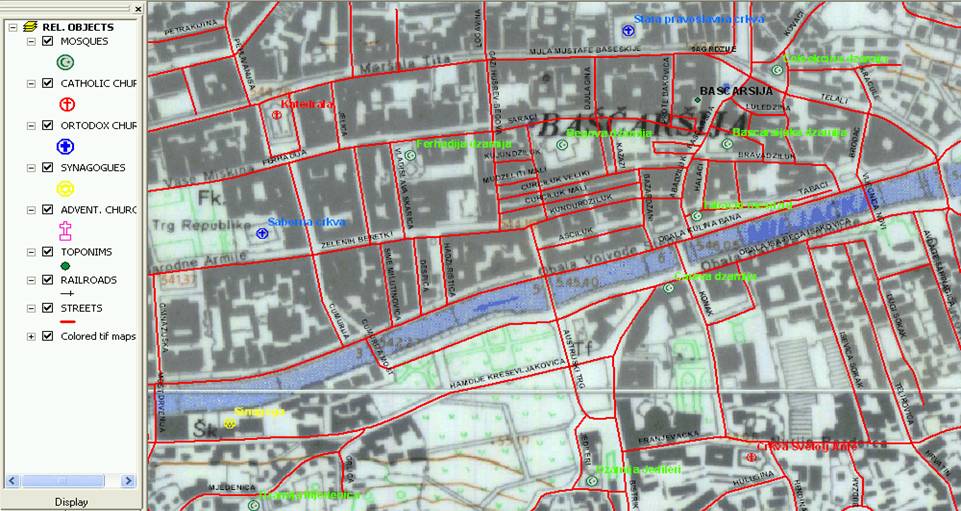
This project is a GIS implementation in spatial data development and the original way to represent religious heritage, using new geo-spatial technology linked with relational database technology. Heritage has traditionally been associated with buildings. Multi-religious objects in Bosnia and Herzegovina (mosques, Jewish synagogues, roman-catholic churches, orthodox churches, Adventist churches) give interesting challenge for GIS implementation.
Bosnia and Herzegovina is a rare state - the various civilizations have influenced her historical evolution and legacy, as the west and the east meet here: various nations lived here together through the centuries, in unity. Destroyed during the last war, today it is re-teaching its inhabitants how to live and prosper together. This project could be powerful tool and help people to learn more about each other using Internet as universal communication tool.
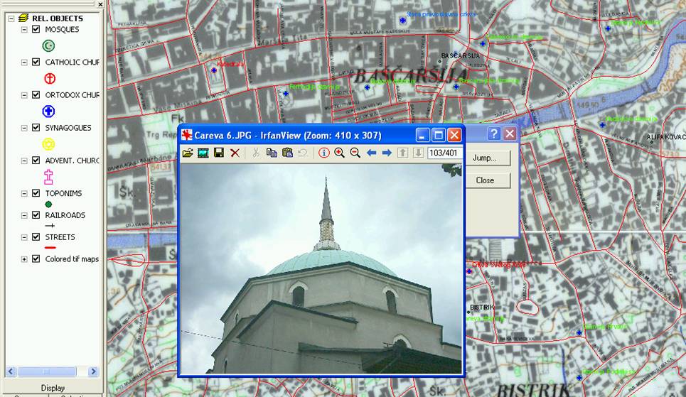
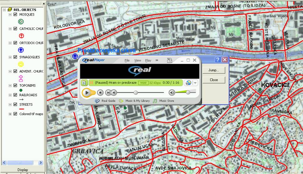
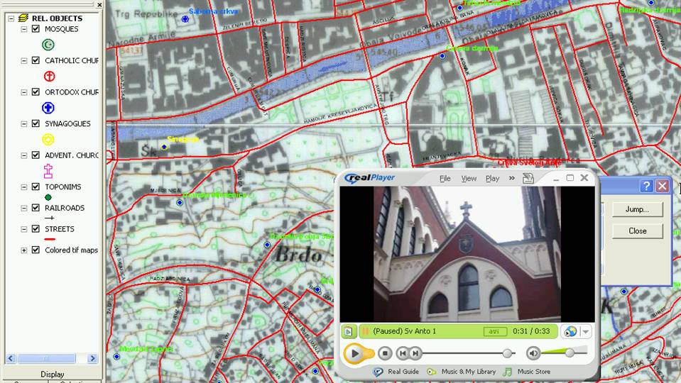
The first step is a pilot project related to the Canton Sarajevo .It will present research results of the first multimedia database containing spatial and location information and attribute information about all religious objects (dimensions, age, need for restoration, photos, location plot plans, other identifying Information, narrator voice recording ) with ESRI ArcView software tools for organizing and displaying data. This project will be useful not only as a part of heritage GIS management for the Canton Sarajevo, but also for similar types of analysis and research in the area of possible applications for this evolving technology.